Information about the region
Information about the region
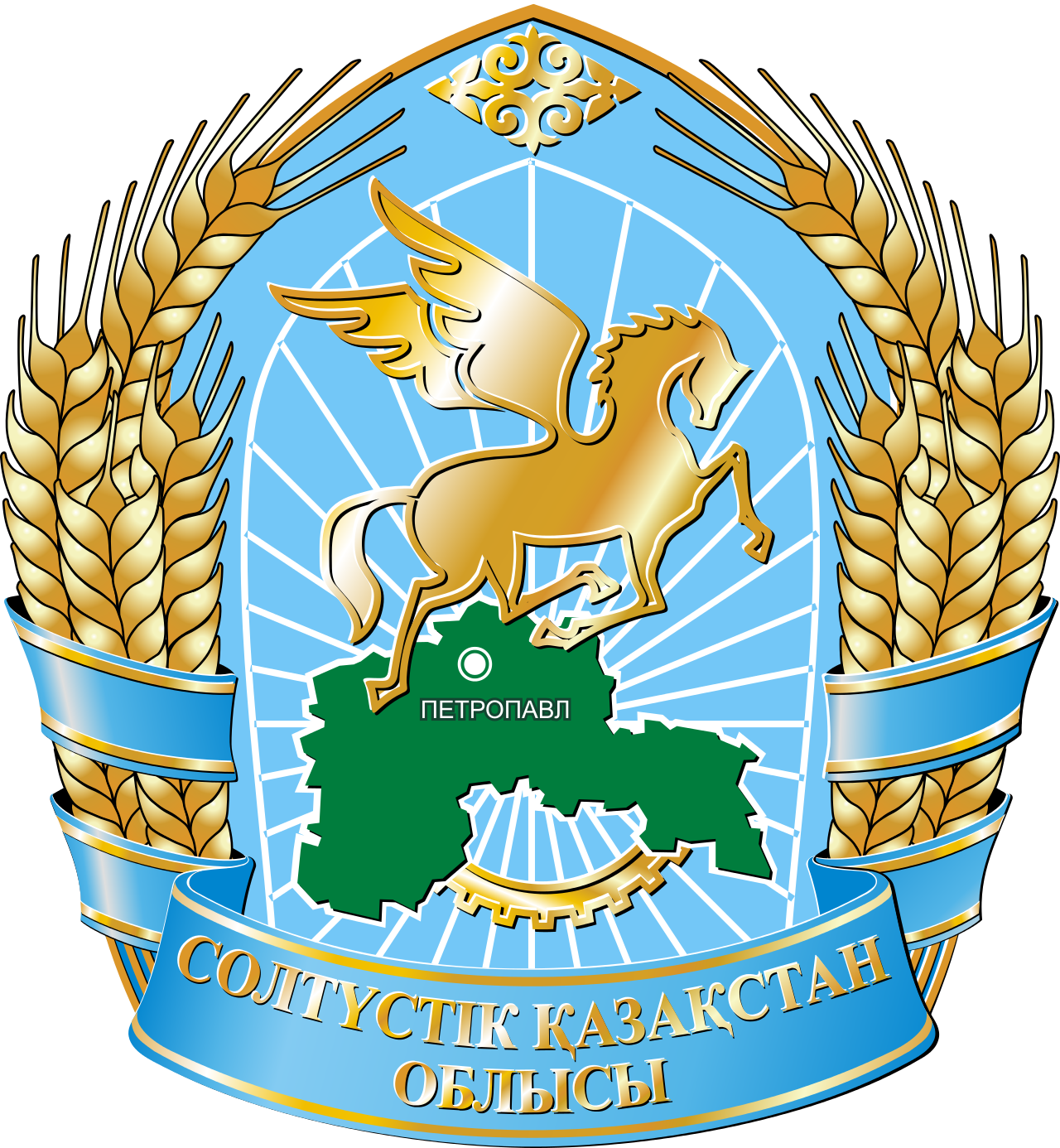
The North Kazakhstan region is one of the fourteen regions within Kazakhstan. The administrative center is the city of Petropavlovsk.
Square
98 000 sq. km.
Neighboring regions and countries:
- in the north - Russia
- in the south - Akmola
- in the west - Kostanay
Climatic conditions
- Sharply continental.
- Winters are cold and long, summers are relatively hot, with a predominance of clear, often dry weather.
Geographical data
The North Kazakhstan region is located in the north of Kazakhstan, occupies the southern edge of the West Siberian Plain and part of the Kazakh melkosopochnik (Sary-Arki). In the south is the Zhaksy-Zhalgyztau mountain (748 m) — the highest point of the region, the lowest point is the Teke Lake located in the east of the region (28 m).
The rivers belong to the Ob basin. The territory of the region is crossed almost in the meridional direction by the valley of the Ishim River (with the tributaries Imanburlyk and Akkanburlyk), the width of which varies from a few kilometers in the south to 20-22 km in the north of the region.
About the Region
The region is divided into 13 districts and 1 city of regional significance — the city of Petropavlovsk (in parentheses, the former names of the districts):
- Ayyrtau district (Volodarsky) - RC village of Saumalkol (Volodarskoye)
- Akzhar district-Talshik village RC
- Akkayynsky district (Soviet) - the village of Smirnovo RC
- Yesilsky district — the village of Yavlenka RC
- Zhambylsky district - RC village Presnovka
- district Magzhan Zhumabayev (Bulaevsky) - RC city Bulaevo
- Kyzylzhar district-the village of Bishkul RC
- Mamlyutsky district-RC city of Mamlyutka
- district named after Gabit Musrepov (Tselinny (Kuibyshevsky) district) — RC village of Novoishimskoye (Kuibyshevsky)
- Tayynshinsky district (Krasnoarmeysky) - RC city of Tayynsha (Krasnoarmeysk)
- Timiryazevsky district — RC village of Timiryazevo
- Ualikhanov district-RC village of Kishkenekol
- district of Shal Akyn (Sergeevsky) - RC city of Sergeevka
- the city of Petropavlovsk
Population 530 678
(november 2023)
GRP 105,5%
(for the 1st half of 2023)
Inflation 10,5%
(december 2023)
Average monthly salary 258 089
(III quarter of 2023)
Gross inflow of direct investments
Trade turnover
*Excluding small businesses engaged in entrepreneurial activities.
